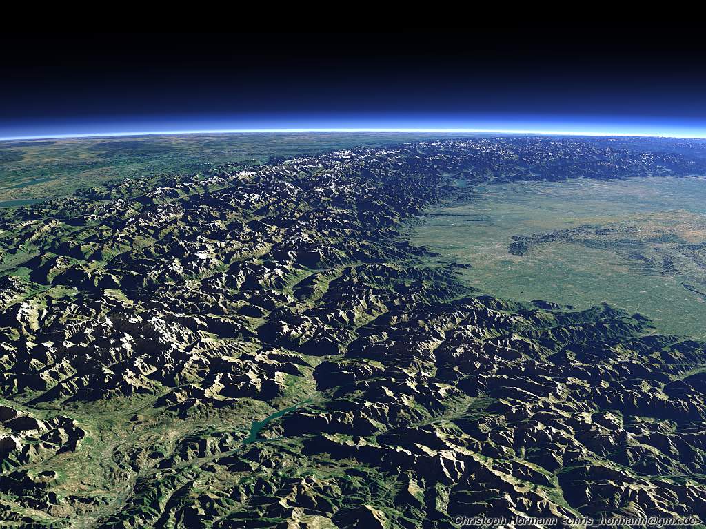
I have recently made some tests with compensation of atmosphere
influence in satellite images. The problem of most high resolution
satellite images is that the color is influenced differently by the
atmosphere in different regions of the image and the same surface color
therefore appears as a different color in different areas of the image.
The approach i took is to simply calculate the atmosphere thickness
for every point of the image from the corresponding height and use that
for compensation. More details can be found on:
http://www.imagico.de/pov/earth_atmosphere.html
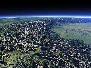
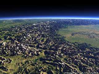
Attached are two renders from the alps, the first without the
compensation, the second with it. Data sources are various Landsat
scenes for the texture and SRTM + void filling from
http://www.viewfinderpanoramas.org/ for the elevation.
Other renders using the technique can be seen on the Views-of-the-Earth
site (http://earth.imagico.de/new.php)
An implementation of the algorithm is available as well but this is not
a very user friendly program, just a demonstration.
Christoph
--
POV-Ray tutorials, include files, Landscape of the week:
http://www.imagico.de/ (Last updated 04 May. 2006)
MegaPOV with mechanics simulation: http://megapov.inetart.net/
Post a reply to this message
Attachments:
Download 'alps2_a1.jpg' (189 KB)
Download 'alps2_a2.jpg' (162 KB)
Preview of image 'alps2_a1.jpg'
Preview of image 'alps2_a2.jpg'
|