| Home | Groups | Digests | Personalise | Search | Login |
|
|
||||||||
|
|||||||||
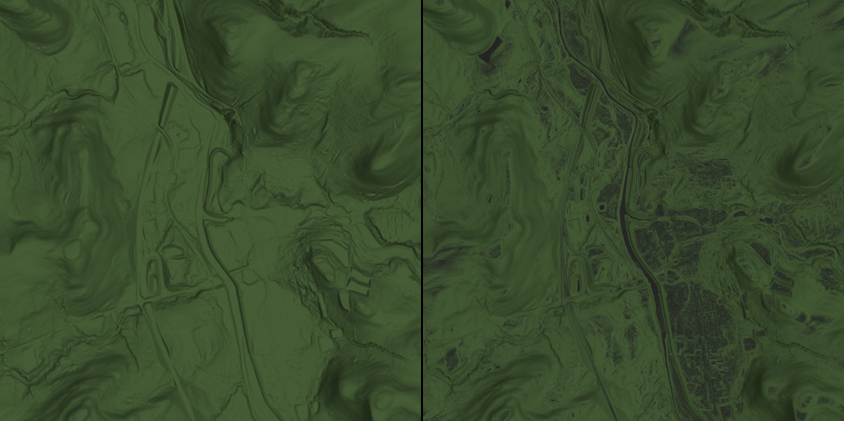
| POV-Ray : Newsgroups : povray.binaries.images : Using AOI & orthographic camera to bring out detail in DEM based isosurface. : Using AOI & orthographic camera to bring out detail in DEM based isosurface. | Server Time 29 Jul 2024 22:27:53 EDT (-0400) |
|
|
||||||||||||||||||||||||||||
![]()