> I separate the channels in TSL mode and use the tone channel for > elevation map, it's work for altitude between -6km to 4-5 km ..
I want to say HSL and use Hue .. ;)
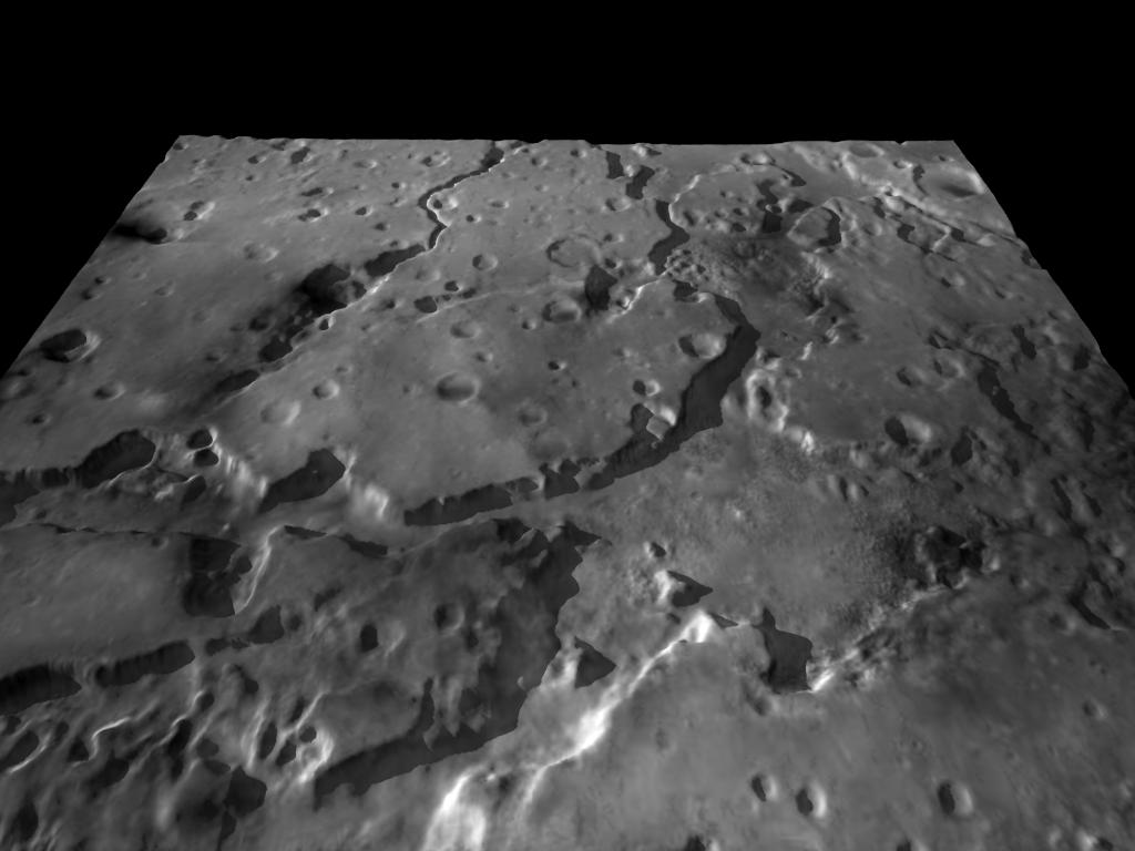
This is a test with the elevation on a heightfield.
It use the "visible" option in google mars for image-map.