I made these images some time ago, but forgot to post them.
I used the SRTM test data available on:
ftp://edcsgs9.cr.usgs.gov/pub/data/srtm/
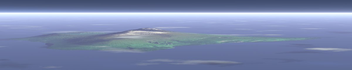
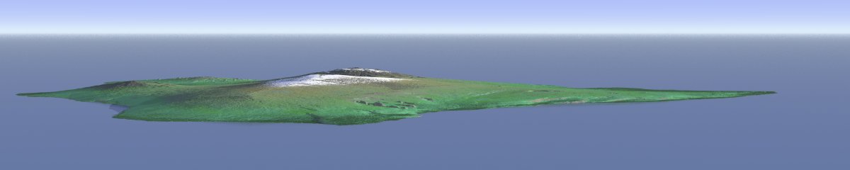
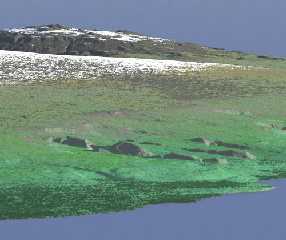
to make an air view of the main island of hawaii. The height scale should
be correct, the resolution of the data is about 50 meters per pixel.
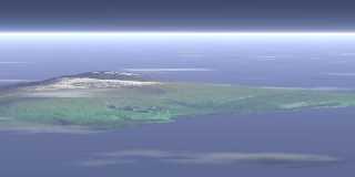
The first image has some fog and media for the atmosphere and clouds, the
second one is without. The texture uses a combination of several slope
patterns, surely not that realistic, but getting a realistic image map of
that resolution is probably nearly impossible.
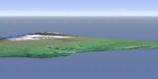
The third image shows a detail view.
Comments?
Christoph
--
POV-Ray tutorials, IsoWood include,
TransSkin and more: http://www.tu-bs.de/~y0013390/
Last updated 15 Jul. 2002 _____./\/^>_*_<^\/\.______
Post a reply to this message
Attachments:
Download 'hawaii_a.jpg' (25 KB)
Download 'hawaii_b.jpg' (21 KB)
Download 'hawaii_detail.jpg' (46 KB)
Preview of image 'hawaii_a.jpg'
Preview of image 'hawaii_b.jpg'
Preview of image 'hawaii_detail.jpg'
|