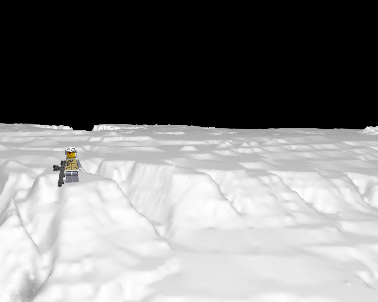
Landscape.tga (snow) for rebel_snowspeeder not found but found the grandcanyon.
http://www.programmersheaven.com/download/1799/10/ZipView.aspx
http://www.programmersheaven.com/download/1799/download.aspx
http://www.travelnotes.de/rays/grandcan/index.htm
http://edc2.usgs.gov/geodata/index.php
http://edcftp.cr.usgs.gov/pub/data/DEM/250/G/
:actually:GrandCanyon e-w
\scenes3\dem>dem2pov gce.dem gce.tga
Enter 0 for all, 1 for samples, 2 for subset : 0
Height-field type (0) Actual heights (1) Normalized : 1
Enter elevation bias: 0
Enter default elevation (final output units) : 0
TGA header width = 1201 height = 1201
1442401 pixels were written to the file.
For converted data points:
MinValue = 12654.397 MaxValue = 65535.000
gcw=For converted data points:
MinValue = 7249.793 MaxValue = 65535.000
height_field { tga "gce.tga" smooth
scale <1000, 100, 1000>*10
translate <-500, -100,0>*10
texture {
pigment { color white }
finish { ambient 0.6 reflection 0 diffuse 0.4 }
}
}
DEM2POV v1.2a
Converts USGS Digital Elevation Model data files to tga height-field
Post a reply to this message
Attachments:
Download 'rebel_snowspeeder.png' (274 KB)
Preview of image 'rebel_snowspeeder.png'

|