|
 |
Hi(gh)!
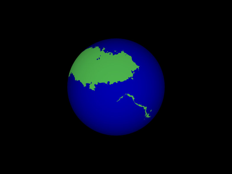
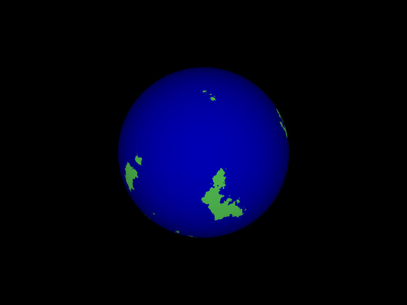
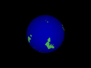
I started designing an isosurface planet for my "Port Whatmough" city
project... the land-sea ratio is quite what I aimed at, also the
planet-wide elevation range (deepest point of the ocean ~-7500 m,
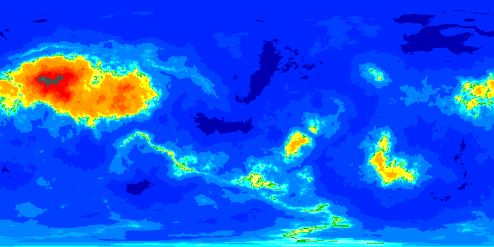
highest mountain on land ~7200 m), but I wanted broader low plains
(green in the cylindrical map generated from the isosurface) and
mountain areas (orange to brown) mostly as ranges rather than massive
plateaus.
Is it a matter of careful mixing pigment functions, e. g. using average?
Which additional functions would you recommend?
Here is the isosurface code:
#declare S = // basic spherical shape
function { x*x + y*y + z*z -1 }
#declare Terrain_Part1_Function=
function
{
pattern
{
crackle form <0, 0.3, 0>
scale 10
translate <2, 0, 0>
turbulence 0.5
octaves 8
omega 0.6
lambda 2.07
poly_wave 0.53
}
}
#declare Terrain_Function=
function { S(x, y, z) + Terrain_Part1_Function (x*5,y*5,z*5)*0.02 }
#declare Whatmough=
isosurface
{
function { Terrain_Function(x, y, z) }
contained_by
{
sphere { 0, 2 }
}
max_gradient 10
// accuracy pow(10, -clock/25)
double_illuminate
texture { T_Whatmough }
scale 5794
}
The ocean is an additional sphere with a radius of 5773.1.
See you in Khyberspace!
Yadgar
Now playing: The Hurt (Cat Stevens)
Post a reply to this message
Attachments:
Download '2012-07-04 whatmough, take 11.jpg' (20 KB)
Download '2012-07-04 whatmough, take 12.jpg' (17 KB)
Download '2012-07-07 whatmough, simple cylindrical map, no legend, take 1.png' (38 KB)
Preview of image '2012-07-04 whatmough, take 11.jpg'

Preview of image '2012-07-04 whatmough, take 12.jpg'
Preview of image '2012-07-07 whatmough, simple cylindrical map, no legend, take 1.png'

|
|
|
|
There are at least two functions which are useful for building mountain
ranges: f_hetero_mf() and especially f_ridged_mf(). You can /add/ those
to your Terrain_Function.
Thomas
> Hi(gh)!
>
> I started designing an isosurface planet for my "Port Whatmough" city
> project... the land-sea ratio is quite what I aimed at, also the
> planet-wide elevation range (deepest point of the ocean ~-7500 m,
> highest mountain on land ~7200 m), but I wanted broader low plains
> (green in the cylindrical map generated from the isosurface) and
> mountain areas (orange to brown) mostly as ranges rather than massive
> plateaus.
>
> Is it a matter of careful mixing pigment functions, e. g. using average?
> Which additional functions would you recommend?
>
Post a reply to this message
|
|