"jr" <cre### [at] gmail com> wrote:
anyone having suitable (by country) border
> "outlines" to hand ?
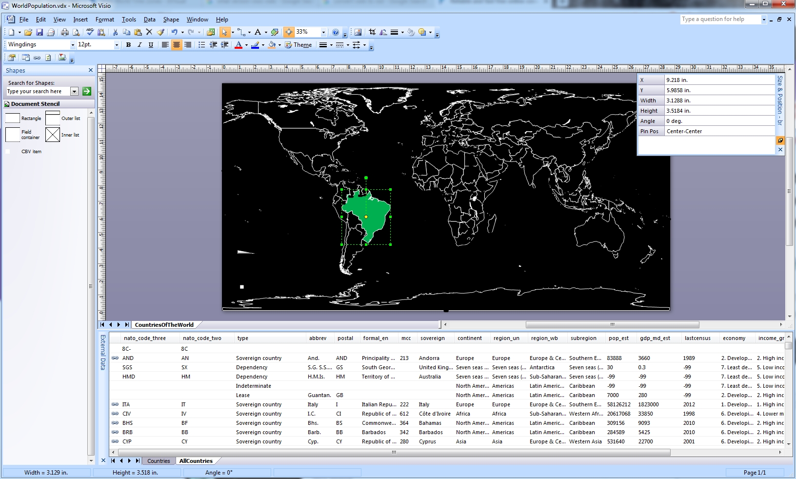
https://bvisual.net/2013/08/16/visio-map-of-the-world/
Looks like people use SVG's to create outlines, etc. There must be some sort of
utility or online converter that would allow extraction of outline information.
Presumably each country in an SVG is stored as a "path", that can be converted
to a polygon or prism.
I used an online converter to go from vsdx to vdx and open it in VISIO 2007. com> wrote:
anyone having suitable (by country) border
> "outlines" to hand ?
https://bvisual.net/2013/08/16/visio-map-of-the-world/
Looks like people use SVG's to create outlines, etc. There must be some sort of
utility or online converter that would allow extraction of outline information.
Presumably each country in an SVG is stored as a "path", that can be converted
to a polygon or prism.
I used an online converter to go from vsdx to vdx and open it in VISIO 2007.
Post a reply to this message
Attachments:
Download 'visio_worldmap.jpg' (628 KB)
Preview of image 'visio_worldmap.jpg'
|