I managed to code most of the "user-side" of the project, where the customized
options and scene description for that tile region gets stored. All of the
infrastructure gets generated and stored, and tiles get enabled by renaming from
..tmp to .inc
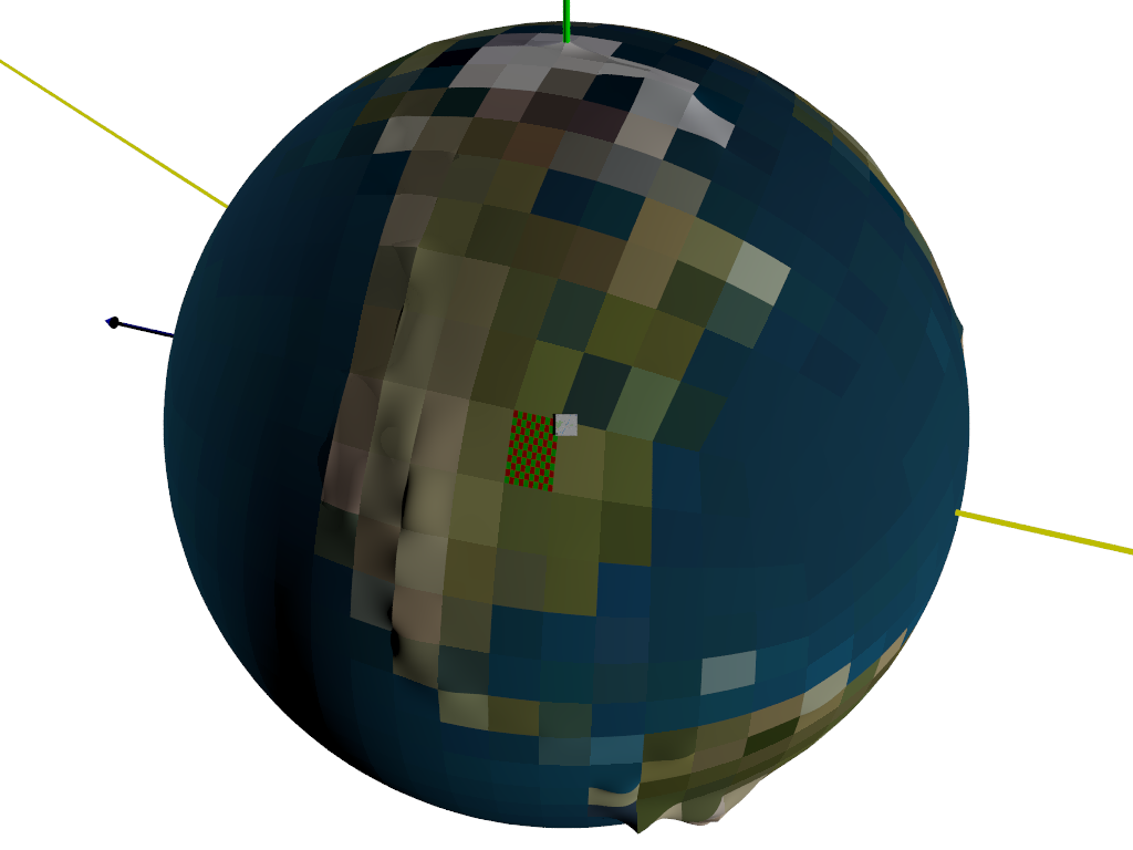
Presently I just have a simple user-defined checker texture that can be
uv-mapped on the terrain for that tile.
I need to adjust my world image_maps so that the Greenwich Prime Meridian is at
x=0, and then do some verification that all of the lat/long calculations are
correct.
I'm thinking about how to partially uv-map a tile with a map or satellite data -
probably an image_map once and some scaling.
The map square shown is just a double triangle textured with an image_map, and
it floats in space.
The whole thing gets pre-generated in a very short amount of time (1500 tiles)
and renders extremely quickly.
I need to smooth out the bezier seams then begin to work on how to tie in
subdivided tiles of different levels of detail.
Also some mechanism for determining which files need to be edited given a
certain view would be a huge step forward in terms of ease-of-use.
Post a reply to this message
Attachments:
Download 'myplanet.png' (146 KB)
Preview of image 'myplanet.png'

|