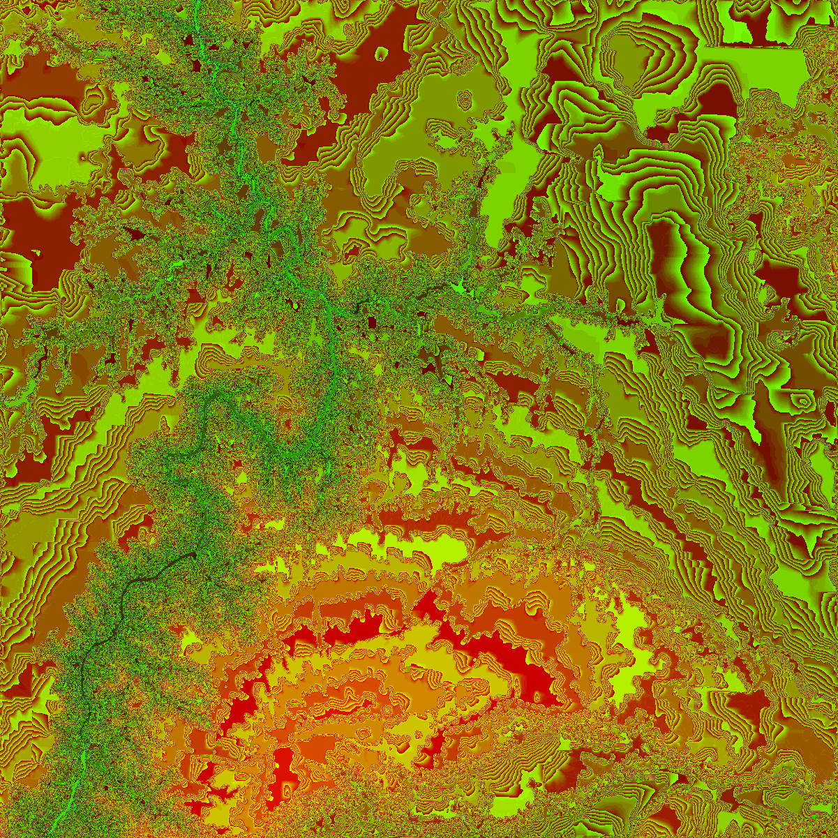
for a dem file that works, (cant find any on the net.)
use the vertical scale input of 20 for this image.
1 = shades of only green.
number of rows 1201, number of columns 1201
Enter 0 for all, 1 for samples, 2 for subset : 0
Height-field type (0) Actual heights (1) Normalized : 0
Enter a vertical scaling factor : 20
Enter elevation bias: 0
Enter default elevation (final output units) : 1 (I dont know this one)
The last interactive input defines a default elevation in the output
units to be used for those pixel points where DEM data are not
available. This is useful for eliminating sharp changes at the
height-field edges where sparse data situations may occur.
even still ... lol wth?
Post a reply to this message
Attachments:
Download 'gce.jpg' (654 KB)
Preview of image 'gce.jpg'
|