|
 |
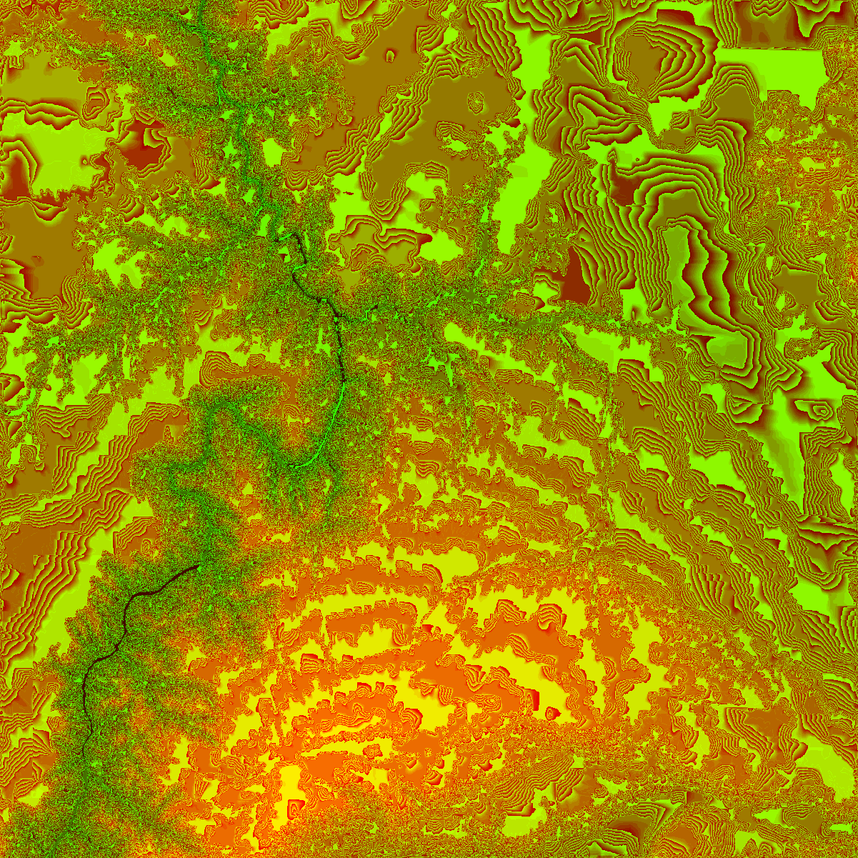
now I remember, rebel_snowspeeder
was defined by an image map of the Grand Canyon. all u do i this:
height_field { tga "gce.tga" smooth
scale <1000, 100, 1000>*10
translate <-500, -100,0>*10
texture {
pigment { color white }
finish { ambient 0.6 reflection 0 diffuse 0.4 }
}
}
DEM2POV v1.2a
Converts USGS Digital Elevation Model data files to tga height-field for
POV raytracer. converted W. D. Kirby, 30 mar 96. hacked from dem2xyz.c
18 apr 95. converts 3 arc second to lat/long, sol katz, mar. 94. added
sampling and cutting to size, sol katz, apr 94. changed the calculation
of start position in sampling code, sol katz, jan 95.
here's an png
Post a reply to this message
Attachments:
Download 'gce.png' (1317 KB)
Preview of image 'gce.png'
|
|