Thomas de Groot <tho### [at] degroot org> wrote:
> On 23-2-2017 16:12, Kirk Andrews wrote:
> > Would you be willing to share some of your eroded landscape height maps?
> >
>
> They can be found now in p.b.misc. I had to convert them from tga to png
> in order to reduce the size. But they work the same.
>
> There was one example of a degenerate cylinder crashing the scene. Some
> control on the hf margins seems to be necessary.
>
> --
> Thomas
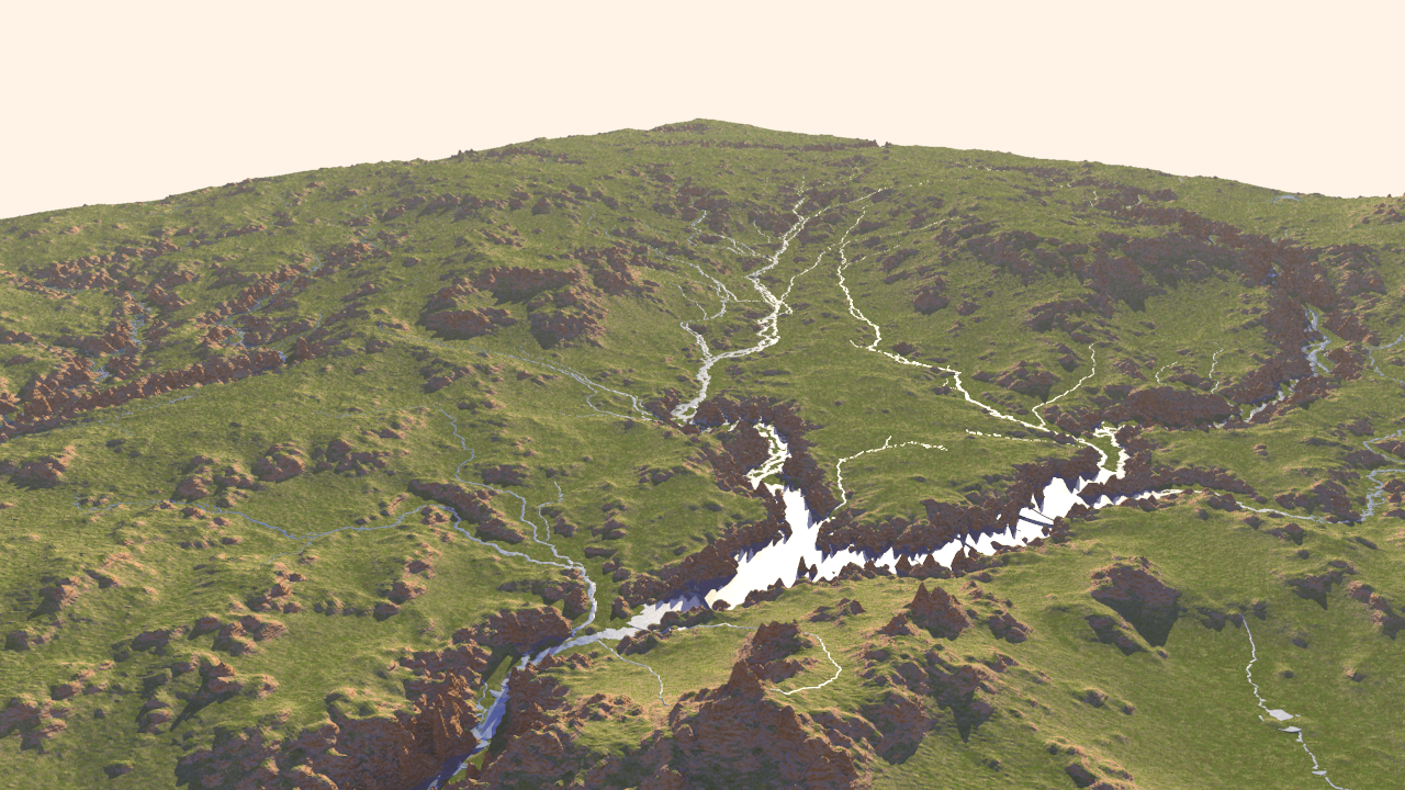
Thanks for sharing those, Thomas. I'm pretty happy with the way the streams are
flowing on a terrain with erosion factored in! org> wrote:
> On 23-2-2017 16:12, Kirk Andrews wrote:
> > Would you be willing to share some of your eroded landscape height maps?
> >
>
> They can be found now in p.b.misc. I had to convert them from tga to png
> in order to reduce the size. But they work the same.
>
> There was one example of a degenerate cylinder crashing the scene. Some
> control on the hf margins seems to be necessary.
>
> --
> Thomas
Thanks for sharing those, Thomas. I'm pretty happy with the way the streams are
flowing on a terrain with erosion factored in!
Post a reply to this message
Attachments:
Download 'water4_tghf_1.png' (3875 KB)
Preview of image 'water4_tghf_1.png'

|