"Samuel Benge" <stb### [at] hotmail com> wrote:
> I believe the code has reached its final state.
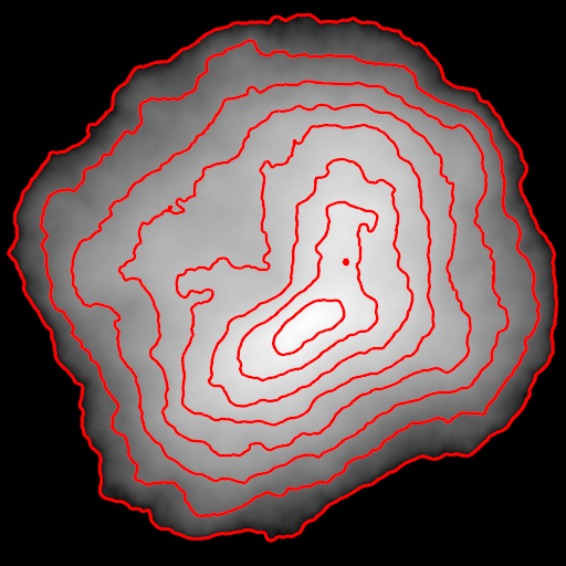
Attached is an image rendered from the example scene, using eight elevation
lines. An acceptable result, IIDSSMS, although calculating the number of lines
needed for real-world data might prove to be somewhat of a challenge! com> wrote:
> I believe the code has reached its final state.
Attached is an image rendered from the example scene, using eight elevation
lines. An acceptable result, IIDSSMS, although calculating the number of lines
needed for real-world data might prove to be somewhat of a challenge!
Post a reply to this message
Attachments:
Download 'elevationlines.png' (119 KB)
Preview of image 'elevationlines.png'
|