Verm <a@b> wrote:
> alphaQuad wrote:
> > DEM2POV v1.2a
> >
> > Converts USGS Digital Elevation Model data files to tga height-field
>
> Heh - I wish I'd found that a couple of weeks ago :-)
>
> I couldn't find anything that could convert hgt files so I hacked a
> quick java program to convert hgt to pgm. All my program needed to do
> was add the PGM header as otherwise the formats are the same.
>
> It would have been fairly quick but it turned out that POV-Ray is very
> fussy about what type of whitespaces you use in the pgm header gah.
> Pov seems to expect you to use newlines everywhere except between the
> width and height (where you should use a space), but I didn't know this
> so at first I just used spaces everywhere.
Sorry 'bout that, I'm just a few weeks behind, but stay tuned I catch up
quickly.
Post a reply to this message
Attachments:
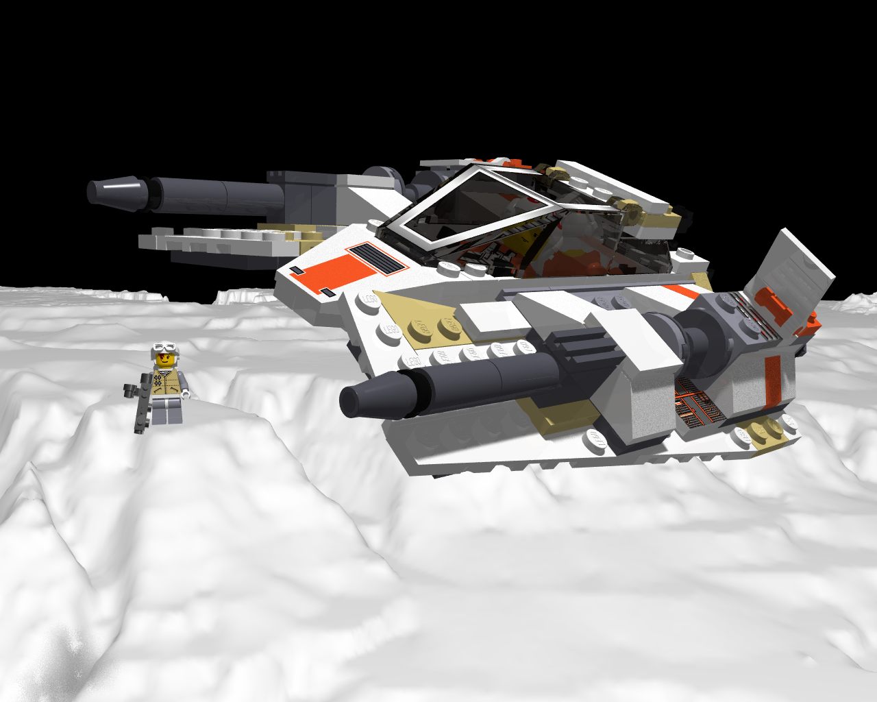
Download 'rebel_snowspeeder.jpg' (103 KB)
Preview of image 'rebel_snowspeeder.jpg'
|