Hi there
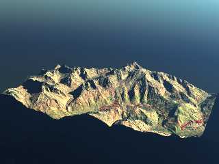
this is a small test using a 30mx30m elevation grid on which I mapped the
corresponding roadmap. This is the Mont Blanc area (the winding road in red
above Chamonix is the one going to the tunnel entrance).
Maybe I'll try to add some small clouds later on...
Sylvain
Post a reply to this message
Attachments:
Download 'test_mont_blanc.png' (259 KB)
Preview of image 'test_mont_blanc.png'

|


![]()