On 16-2-2017 19:59, Kirk Andrews wrote:
> So, I'm starting to get my head around what's happening with the lakes not
> filling up. As it searches for a point lower than the water level in an
> increasing radius, it doesn't take into account whether or not the water can
> actually flow that way.
>
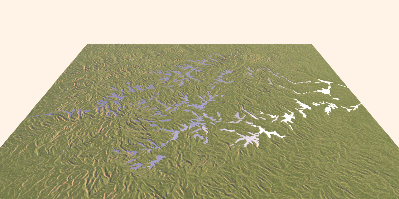
I used here a height_field where a drainage pattern has been eroded with
the help of a succession of different applications. As I expected, the
pattern is not perfect, with ridges barring the drainage courses in
several places. I have not yet found a single application that does the
job faultlessly.
However, the code does a good job I think in joining the lowermost areas.
--
Thomas
Post a reply to this message
Attachments:
Download 'ka_water3_test.png' (1066 KB)
Preview of image 'ka_water3_test.png'
|